AeroNavMap
iOS navigation for X-Plane

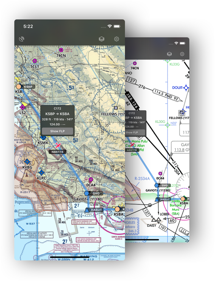
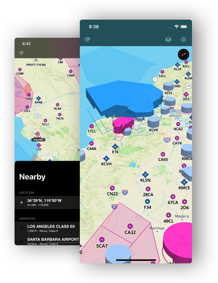
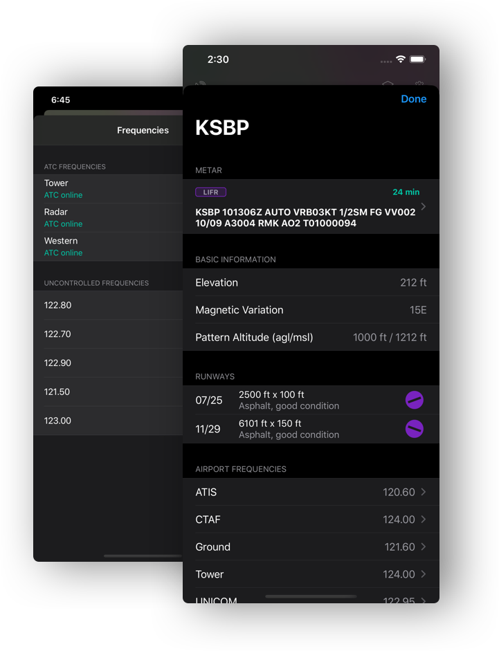
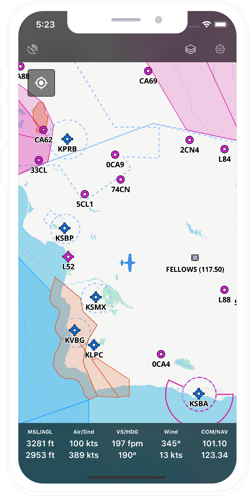
AeroNavMap is an iOS app with detailed aeronautical maps, charts and live data from X-Plane and PilotEdge including ATC. It aims to be an affordable Electronic Flight Bag for simulator pilots.

VFR and IFR charts

Access sectional VFR and IFR charts covering the entire US.

More features

3D Airspaces

Visualise any restricted and controlled airspaces in 3D!

More features

PilotEdge integration with live ATC

Listen the live PilotEdge ATC and access the live traffic.

More features

More Features

X-Plane

X-Plane live position on the map along with multiple X-Plane data.

Aeronautical Maps

Detailed aeronautical maps with updated nav cycles

Map Styles

Switch between light, dark, sattelite and more map styles

VFR and IFR charts

Access all the US VFR sectional and IFR charts

FAA plates

Airports, departures and approach plates overlays

PilotEdge

Live PilotEdge ATC audio and position on the map

About Me

Jan

http://twitter.com/TexTwil/

Hi, I'm the developer of this app and an aviation hobbyist. I started to work on this app because I believe that an affordable yet quality navigation app is missing in the sim community. The project is quite challenging and I work on it only during my free time.